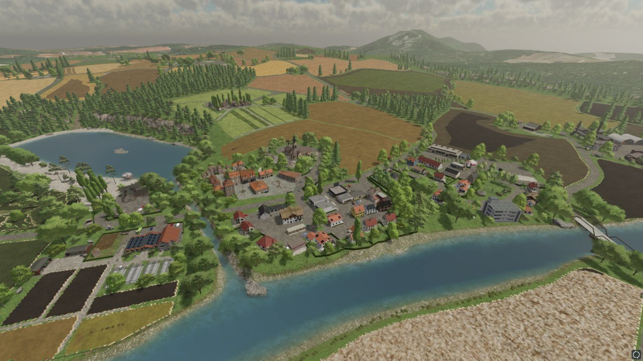
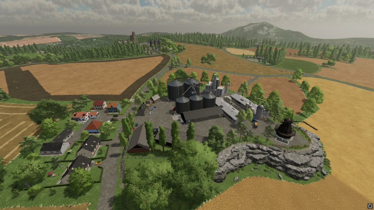
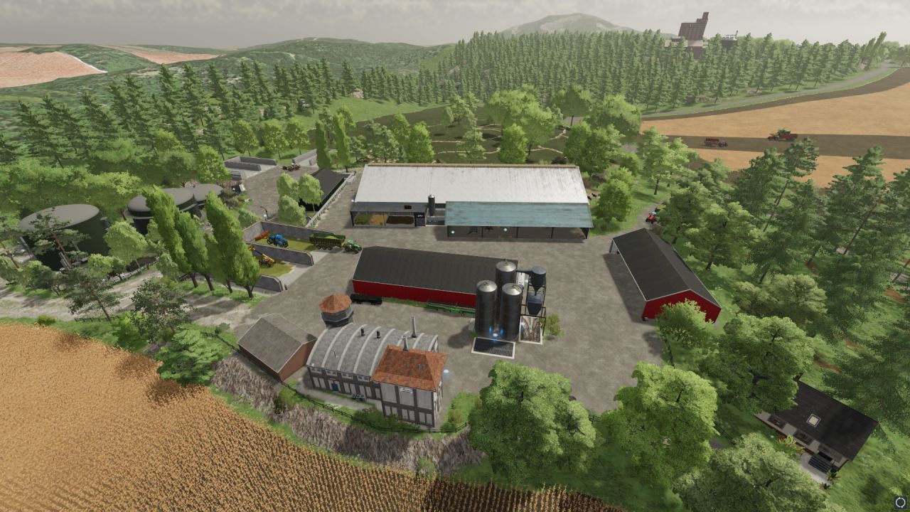
Map entirely created and used for JVVF. Around 50 hours of preparation to put everything in place.
Every free space and gap between 2 fields on the card is used.
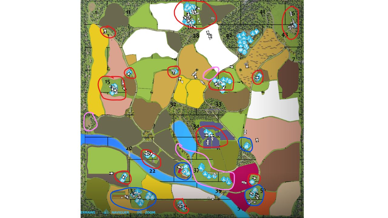
It was created with the idea of an agricultural region, with around 12-13 independent farms and small farms (in RED in the image), rather than a single managing farm.
The most imposing are:
- to the north a cow farm
- to the west a pig farm
- in the center a cereal farm, a vineyard,
- to the south a sheep farm
- to the northeast a sawmill
On the image of the map, we find in BLUE the industrial zones,
- an agricultural cooperative with trial fields
- a cooperative for root crops
- factories for processing grapes
- a nursery on the edge of town
On the image of the map, we find residential areas in PINK
- the big city with its tourist beach and its shops
- a small town
- a house against a backdrop of traffic (for fun)
Have Fun! :D


